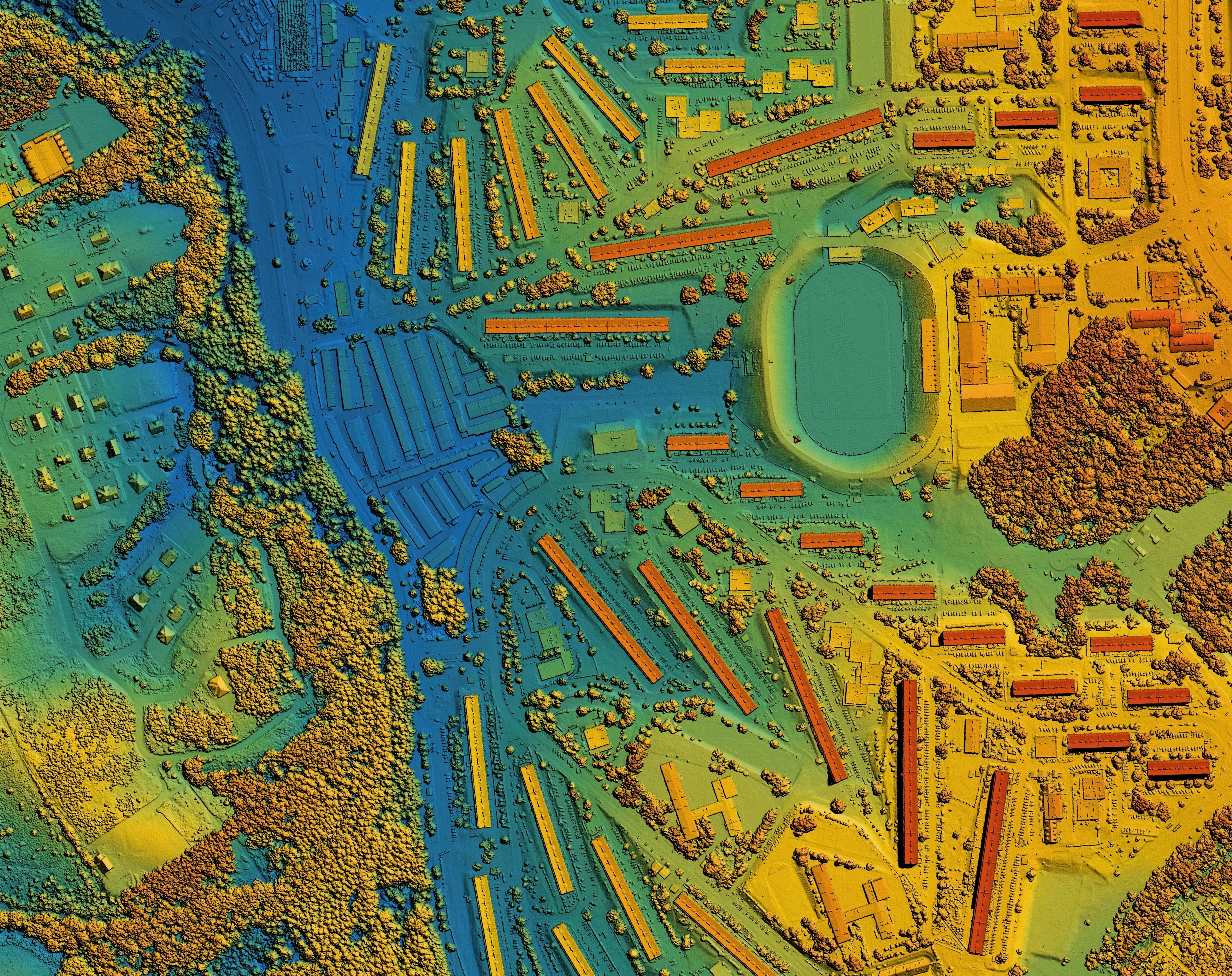
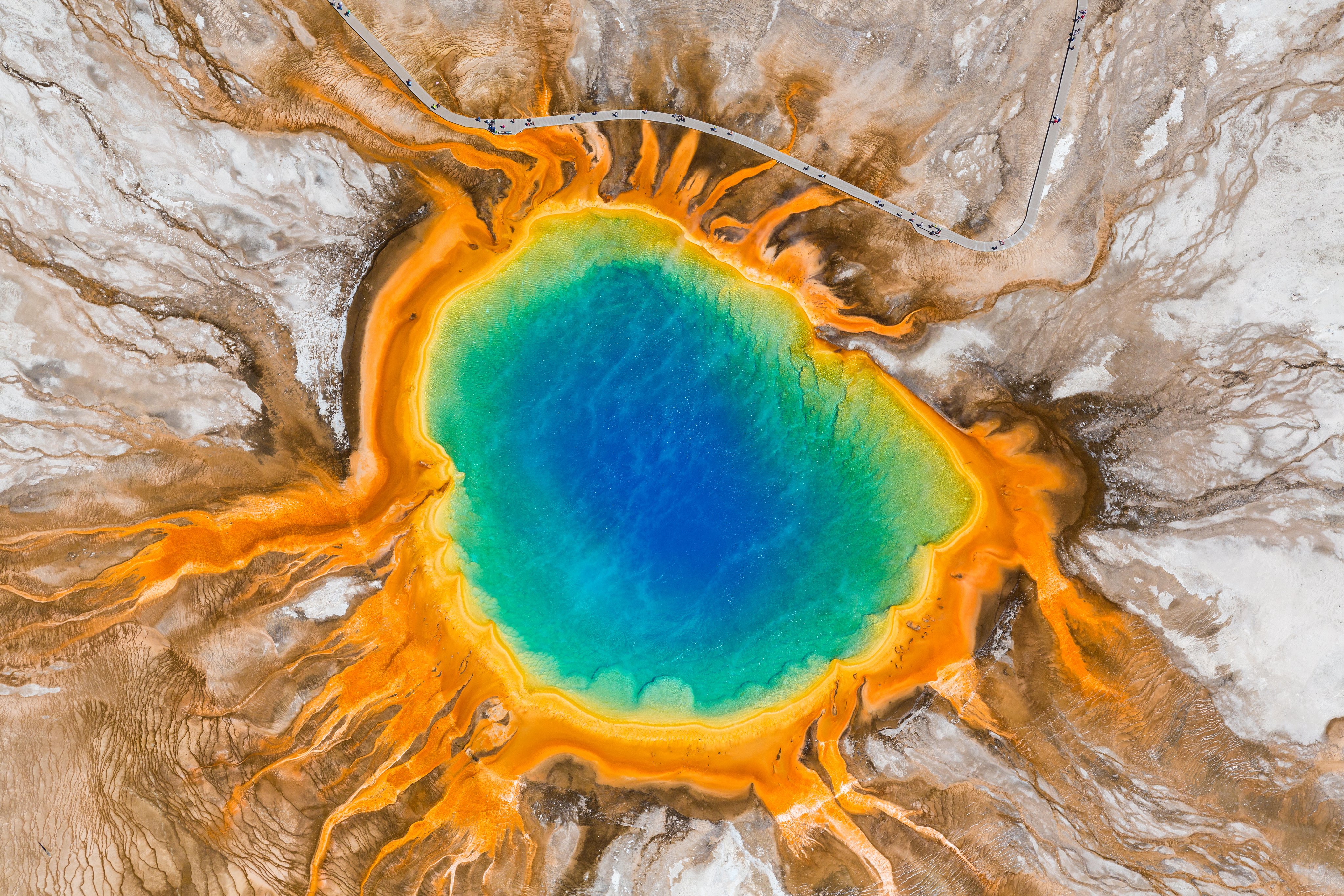
Creating accurate representations of Earth from remotely sensed data
A real-time location intelligence and data visualization solution that turns closed, complex environments with critical infrastructure into smart sites
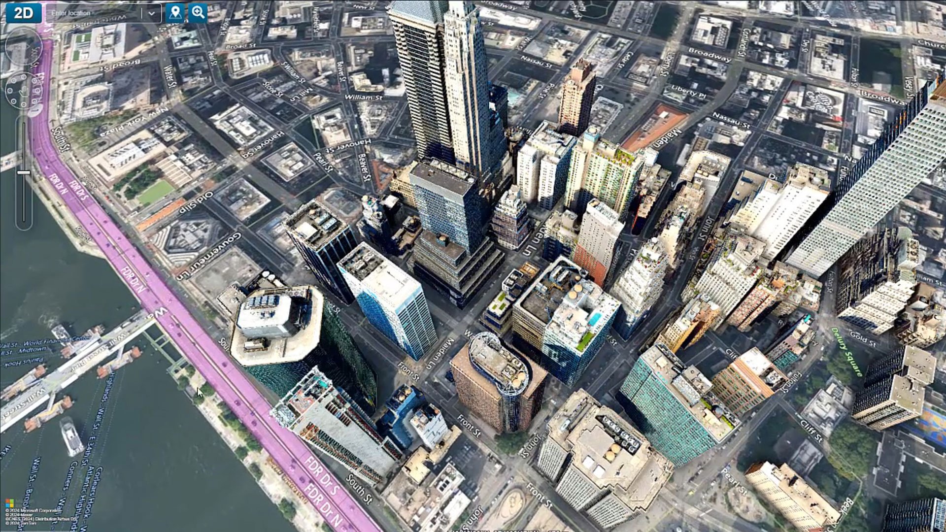
Managing and delivering geospatial information across your enterprise